Hard Copy or PDF. Either way we'll give you the Tahoe set for FREE

Hard Copy Map Sets

Bay Area Mountain Bike Trails

Bay Area Mountain Bike Maps
PDF Map Sets

Bay Area Mountain Bike Trails

Wilder Ranch Mountain Biking Trail Map

Guide to the best mountain bike trails in Wilder Ranch State Park

Area Summary
Location: Santa Cruz
Best For: Intermediates
Suitable For: All levels except extreme
Ground Cover: Mostly open grasslands and wooded canyons
Seasons: Good year round. Exceptional in spring. Some trails closed intermittently in winter.

Ocean vistas, rolling grasslands, redwood forests, wildlife and yes, even single-track. Is this mountain biking heaven? Bay Area riders, used to getting short-changed when it comes to trail access, might just think so. Wilder Ranch offers beginner to strong intermediate riders some of the best riding in the Bay Area.

Once a working ranch dating back to the 1850s, Wilder Ranch is now a state park with land on both the ocean and inland sides of Highway 1. The ocean side features a pancake-flat trail overlooking the Pacific. The inland side features over 30 miles of moderately hilly, moderately technical mountain biking in a drop-dead gorgeous setting.

The Wilder Ridge Loop forms the backbone of the trail system, with numerous loops and spurs shooting off in all directions. The featured rides in this guide are just two of an infinite number of great routes that can be created. Use your imagination...you won't be disappointed.


The trail map below is a jpeg of the actual maps from our books and map-sets.

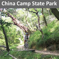
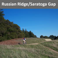
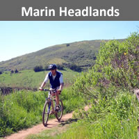
If you like Wilder Ranch, check out these other great rides

Wilder Ranch MTB Rides

Wilder Ride1
Mileage: 11.3 miles
Aerobic: intermediate
Technical: intermediate
Trailhead: Park HQ
Description: Ocean Views, beautiful scenery and moderate single-track highlight this long but never too difficult ride.

Start at Wilder Ranch Parking. Ride to cultural center, through tunnel, past corral on right.
0.5 miles left Wilder Ridge fire road. 1.2 miles left Wilder Ridge single-track. 3.0 miles right Zane Grey Cut-off. 3.9 miles left Wilder Ridge fire road. 4.6 miles right paved road. Stay straight at multi-trail intersection on Eucalyptus Loop. 6.1 miles left on Chinquapin Trail. 7.0 miles right on Long Meadow Trail. 9.1 miles stay left on Engelsman Loop. 10.9 miles stay straight as you pass the horse corral on your left and continue to the cultural center and parking are. 11.3 miles Finish

Featured Ride 2
Mileage: 11.5 miles
Aerobic: intermediate
Technical: advanced intermediate
Trailhead: Park HQ Description: This ride includes most of Wilder's single-track (almost 8 miles!) and includes the varied terrain and great scenery Wilder is known for.

Start at Wilder Ranch Parking. Ride to cultural center, through tunnel, past corral on right.
0.4 miles stay straight on Engelsman Loop. 1.6 miles left on Wild Boar Trail. 1.9 miles stay right. 2.1 miles left on Old Cabin Trail. 3.1 left on Eucalyptus Loop. 4.4 miles stay straight through multi-trail intersection onto Enchanted Loop single-track. 5.7 miles left on fire road. 6.4 miles right on Wilder Ridge Loop single-track 7.7 miles stay left. 8.5 miles stay right. 10.2 miles right on fire road 11.1 miles sharp right, pass horse corral and cultural center. 11.5 miles Finish.

Wilder Ranch Trails

Beginner Level Trails

Old Cove Landing Trail - Flat fire road along ocean bluffs. Gorgeous views. Also called Ohlone Bluff Trail.
Chinquapin Trail - Open fire road.

Intermediate Level Trails

Wilder Ridge Loop - Main loop through mostly open terrain. Includes easy fire road and fun moderate single-track.
Eucalyptus Loop - Includes moderately steep fire road and winding single-track through woods.
Old Cabin Trail - Fun single-track winds into and out of a forested canyon.
Twin Oaks Trail - Single-track through grassy oak woodlands.
Engelsman Loop - Steep, sometimes rutted fire road.
Baldwin Loop - Open fire road.
Long Meadow Trail - Fire road through open grasslands and woods.

Advanced Level Trails

Enchanted Loop - Includes technical single-track through woods and more open fire road.
Zane Grey Cut-off - Moderately steep single-track through open hillside.

Directions to trailhead(s):
The main parking is located on the ocean side of Highway 1 just two miles west of Santa Cruz. Parking also allowed in wide spots along Highway 1. Parking for ride 1 is located 2 miles northwest of the main parking lot on the inland side of Hwy. 1.