Hard Copy or PDF. Either way we'll give you the Tahoe set for FREE

Hard Copy Map Sets

Bay Area Mountain Bike Trails

Bay Area Mountain Bike Maps
PDF Map Sets

Bay Area Mountain Bike Trails

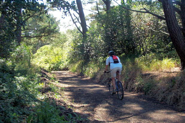
Tilden and Wildcat Canyon Mountain Bike Trail Map

Discover the best East Bay mountain bike trails at Tilden Open Space and the adjacent Wildcat Canyon

Tilden Open Space Mountain Biking


East Bay riders hankering for some nearby after-work riding should look no further than Tilden Regional Park and the adjacent Wildcat Canyon. Tilden and Wildcat provide Berkeley-area riders with easy-to-access rides in a beautiful setting. Beginners will also like these two contiguous parks filled with easy to moderate terrain. Wildcat even features a paved ridgetop bike path with gorgeous views.

Typical East Bay terrain presides, with oak-studded hillsides and cool, shady canyons dominating the landscape. Tilden and Wildcat often benefit from bay breezes (and sometimes fog), making them good alternatives to the usually oven-like summer temps at Briones and Mt. Diablo.

Tilden is a developed park with a golf course, swimming lake, playgrounds etc., so enjoy the trails but please be respectful of the often large numbers of other users.

Check out our interactive Mountain Biking map of Tilden and Wildcat Open Space Parks.

Tilden Bike Trails

Beginner Level Trails

Nimitz Way - Paved ridgetop trail. Great views.
Wildcat Creek Trail - Relatively flat fire road runs length of Wildcat Canyon.
Quarry Trail - Fire road through grasslands.
Wildcat Gorge Trail - Easy, shaded creekside trail.

Intermediate Level Trails

Belgum Trail - Fire road climbs steeply through open grasslands.
Mezue Trail - Fire road connects Wildcat Creek Trail to Nimitz. Very steep in places.
Havey Canyon Trail - Another connector fire road between Wildcat Creek and Nimitz.
Conlon Trail - Fire road climbs open hillside.
Meadows Canyon Trail - Fire road from Inspiration Point to Wildcat Gorge Trail.
Curran Trail - Fire road through shady eucalyptus forest.
Big Springs Trail - Open fire road.
Seaview Trail - Fire road. Steep and rocky in places.
San Pablo Ridge Trail - Steeply rolling fire road. Great views.

Directions to trailhead(s):

Tilden Regional Park is located in the hills above Berkeley. There are a number of access roads into Tilden off of Grizzly Peak Blvd. From I-80 take the Buchanan Street exit and head east. Buchanan turns into Marin Ave. and eventually begins climbing. At 3.3 miles take a left on Grizzly Peak Blvd. In .5 miles veer right, and then right again to access Wildcat Canyon Rd. In 1.3 miles take a left to enter park and follow signs for parking at Lake Anza.