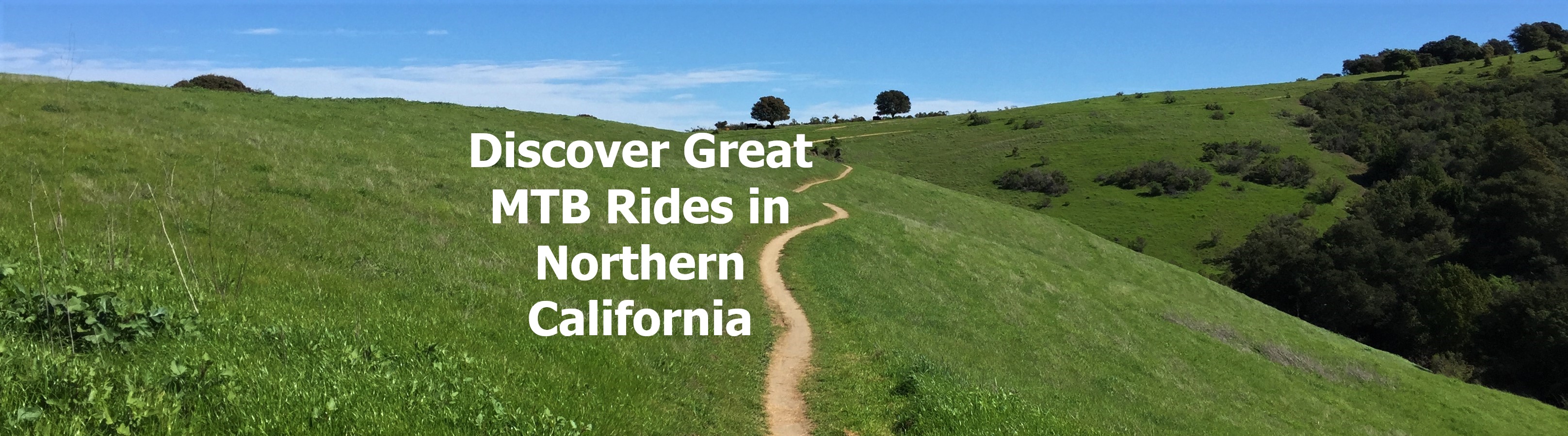
|
|
|
| Welcome to BikeMapDude Productions, where you'll discover great mountain bike trails in the San Francisco Bay Area, Lake Tahoe, the Gold Country including Downieville, Orange County and the Santa Monica Mountains near Los Angeles. Check out some of our great map sets below as well as our special offers, or use the links to find out more about the great riding spots that California has to offer. |
 |
Check out our Special offer! |
| Maps include Mount Tamalpais and Marin Headlands near Mill Valley, Bolinas Ridge in Western Marin, Camp Tamaracho and Pine Mountain, China Camp State Park, and Annadel in the North Bay. East Bay maps include Briones, Tilden, Wildcat, Chabot and Redwood Open Space Parks, Mount DiabloState Park, and 2 maps covering Henry Coe State Park. Santa Cruz Mountains maps include El Corte de Madera (Skeggs) and other Mid-Peninsula Open Space areas such as Russian Ridge and Saratoga Gap. Close to Santa Cruz are Wilder RanchState Park, and Soquel Demonstration Forest. |
|
 |
|
| Maps include Downieville, North Yuba River, Nevada City, the Auburn Recreation Area including Foresthill Divide, the Donner Summit region including the Hole in the Ground Trail, North Lake Tahoe, Tahoe/Nevada featuring the Flume Trail, and South Lake Tahoe including the Tahoe Rim Trail and Mr. Toads Wild Ride.
|
|
  |
|
|
| Maps include Topanga State Park, Cheeseboro and adjacent open spaces, Malibu Creek State Park, the Zuma Region, Point Mugu State Park, Chino Hills State Park, 2 maps of the Cleveland National Forest and the Laguna Beach area including Crystal Cove State Park and Aliso/Wood Canyon.
|
|
Sold in sets called map-packs, each letter-folded 8 1/2" x 11" mountain biking map focuses on one riding area and includes a high-quality ski-style topo map filled with graphical and textual information about all the areas' trails. The reverse side is loaded with information and photos describing the area along with detailed directions to the trailhead(s) and turn-by-turn directions for a pair featured rides. The maps are easy-to-carry, easy-to-use and coated for extra durability.
|
BikeMapDude Mountain Biking Maps offer a better solution for finding and navigating great rides
Compare to Traditional Guide Books and Fold-out Maps
- Guide Books are strong on background information but less than adequate for navigation and inconvenient to carry
- Fold-out Maps are strong for navigation but provide little or no background information about the trails and rides. Map are portable but inconvenient due to their large size
- BikeMapDude guides combine the detailed background information of books with the functionality of maps in one compact, trail-friendly design.
|
|
|